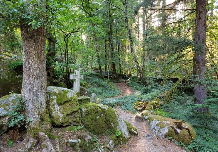
Les Gravières d'Argentat Nature Reserves / Parks in Argentat-sur-Dordogne

Useful information

Location : In the countryside

Province : Dordogne Valley in Corrèze

Ride around

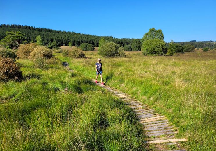
Chemin de découverte de la tourbière de Négarioux-Malsagne

Chemin de découverte de la tourbière de Négarioux-Malsagne
Chemin de découverte de la tourbière de Négari ...

58,0 km - Peyrelevade

Walking

Véloroute 87 Corrèze La Vagabonde

Véloroute 87 Corrèze La Vagabonde

59,3 km - Les Angles-sur-Corrèze

Velo hybrid Bike / road

Circuit des Croix

Circuit des Croix
Circuit des Croix

59,3 km - Peyrelevade

Walking

You will like also

Saint-Setiers Arboretum Park

Saint-Setiers Arboretum Park

The Saint-Setiers Arboretum Park is part of the Millevaches Plateau Regional Nature Park, near Peyrelevade. It ...

59,7 km - Saint-Setiers

Straightened trees

Straightened trees
Straightened trees

In the town of Saint-Setiers, in the heart of the Regional Natural Park of the Plateau de Millevaches, "Les Arbres ...

60,0 km - Saint-Setiers

Agriers Massif Arboretum

Agriers Massif Arboretum

The Arboretum of the Massif des Agriers is located in the east of Corrèze, on the edge of the Creuse. It is part of ...

60,7 km - Lamazière-Haute

La Forêt des Agriers

La Forêt des Agriers

In Couffy-sur-Sarsonne and Lamazière-Haute, come and take a short walk in the Forests of Agriers, to enjoy a ...

61,4 km - Lamazière-Haute
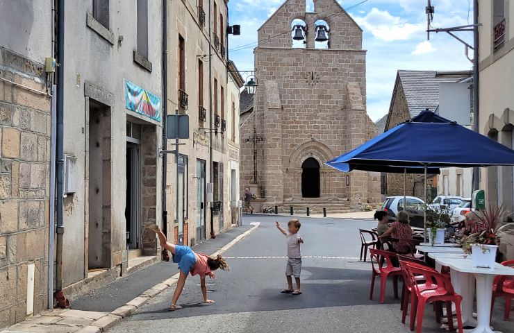
Sornac

Sornac
Sornac

Sornac is a commune located in the north of Corrèze, in the heart of the Millevaches Regional Natural Park. A bit ...

62,3 km - Sornac

loading... map preview

Les Gravières d'Argentat

Address

Réserve de biodiversité

GPS coordinates

46° 13'39.49"N, 2° 12'49.49"E

We tested for you

Walk in the Peat bogs of Longeyroux

Walk in the Peat bogs of Longeyroux

75,2 km - Meymac

Visit Ussel, the city of the Ventadour

Visit Ussel, the city of the Ventadour

75,8 km - Ussel

The mysterious abandoned village of Clédat

The mysterious abandoned village of Clédat

85,2 km - Grandsaigne

Lily of the valley in Corrèze, traditions that are preserved

Lily of the valley in Corrèze, traditions that are preserved
Lily of the valley in Corrèze, traditions that ...

93,4 km - Masseret

The Château de Ventadour, at the heart of the history of the Viscounts of Corrèze

The Château de Ventadour, at the heart of the history of the Viscounts of Corrèze
The Château de Ventadour, at the heart of the  ...

94,8 km - Moustier-Ventadour

You will also like

La Forêt des Agriers

La Forêt des Agriers

In Couffy-sur-Sarsonne and Lamazière-Haute, come and take a short walk in the Forests of Agriers, to enjoy a ...

61,4 km - Lamazière-Haute
Millevaches Regional Nature Park in Limousin

Millevaches Regional Nature Park in Limousin

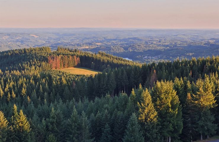
The Regional Natural Park of Millevaches would take its name from its location in height and the very many small ...

65,8 km - Millevaches
Etang des Oussines

Etang des Oussines
Etang des Oussines

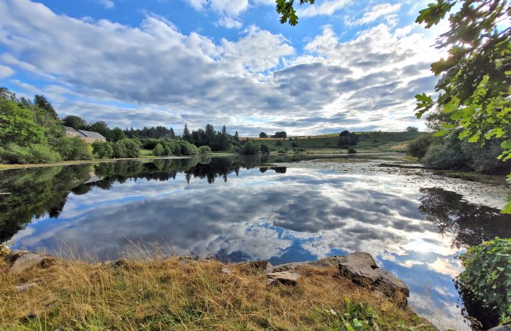
The Etang des Oussines is located in the Upper Vézère Valley, in the Regional Nature Reserve of the Upper Vézère ...

67,0 km - Saint-Merd-les-Oussines

La Vallée du Chavanon

La Vallée du Chavanon

The Chavanon Valley is a region whose pivot point is the village of Merline. It is a place of hikes where a ...

70,1 km - Merlines
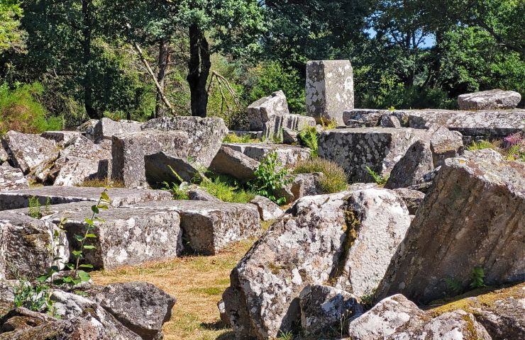
Site Gallo-Romain des Cars

Site Gallo-Romain des Cars

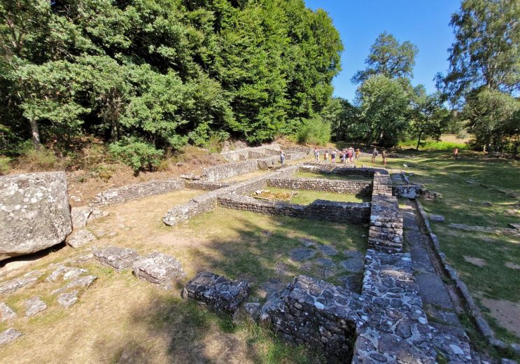
in the Regional Natural Park of the Plateau de Millevaches, the Gallo-Roman Site Les Cars is a very interesting and ...

70,7 km - Saint-Merd-les-Oussines